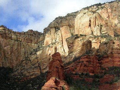
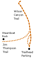
Wilson CanyonThis trail is mainly level and unusually shady, making it the perfect hike for hot weather. At the very end the trail climbs above tree level onto a small exposed hill, giving you 360 degree views of the canyon walls. There is also a detour that lets you see Steamboat Rock close-up.
The Hike
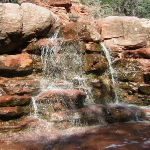
This ambiguous sign near the beginning indicates a fork in the trail. The right fork is the "real" trail; left is a rough trail with seasonal waterfalls.
Detour: Jim Thompson TrailThe Jim Thompson Trail branches off of the main trail about a quarter of the way into the canyon. It takes you to the base of Steamboat Rock and provides views of the canyon walls along the way.
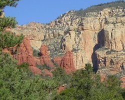
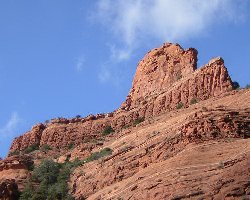
View from the Jim Thompson Trail, and Steamboat Rock
|
