Airport Mesa
This loop trail gives you panoramic views of Sedona's best-known red rock landmarks (plus the occasional thrill of getting buzzed by vintage aircraft).
There is also a short detour to a mini-mesa that's a popular vortex spot.
| Trailhead: |
From the 89A / 179 "Y" ... take 89A west 1.1 mile;
turn left on Airport Road for 0.5 miles;
parking lot is on your left. |
| Length: |
3..5 miles (loop) Elevation change: 200 ft |
| Notes: |
(1) First half of the loop gets broiling hot in summer, and slippery after a rain.
(2) At the parking area there is an unmarked tangle of paths. Stay to the right to find the Loop Trail sign. |

The Hike
(Clockwise around the Airport Mesa Loop trail)
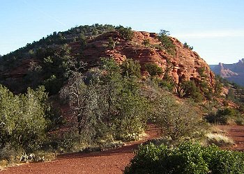
Mini-Mesa (vortex site)
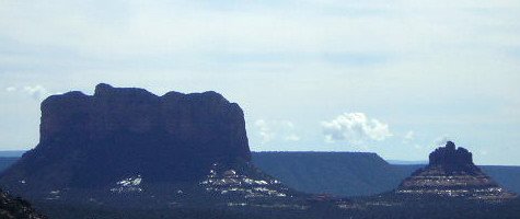
Courthouse Butte and Bell Rock
(tilt your head to the right to see a profile of a face)
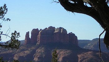
Cathedral Rock
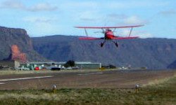
Trail climbs up under the end of the runway
at the halfway point
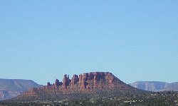
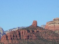
Cockscomb and Chimney Rock
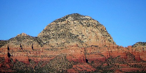
Capitol Butte

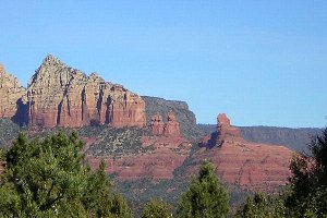
Coffeepot Rock, and The Fin (a.k.a. Ship Rock) and Steamboat Rock
home |
hikes |
parking |
weather
|


